‘Be prepared’ warning to motorists ahead of Storm Kathleen this weekend
Date published: 05 April 2024

There is a yellow Met Office weather warning in place for the north west from 8am to 10pm on Saturday
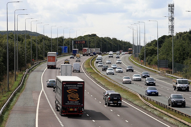
Motorists are being advised to take care on the roads tomorrow (Saturday 6 April) with Storm Kathleen expected to bring high winds to the west of the UK.
National Highways has issued the advice following yellow Met Office weather warnings for the north west and south west of England from 8am to 10pm tomorrow.
The storm could see gusts of up to 50mph expected inland and 70mph around the coast.
The Met Office says the following could happen:
- Injuries and danger to life from flying debris are possible
- Some damage to buildings, such as tiles blown from roofs
- Road, rail, air and ferry services may be affected, with longer journey times and cancellations possible
- Some roads and bridges may close
- Power cuts may occur, with the potential to affect other services, such as mobile phone coverage
- Injuries and danger to life could occur from large waves and beach material being thrown onto sea fronts, coastal roads and properties.
National Highways say in high winds, there’s a particular risk to lorries, caravans and motorbikes, so drivers should slow down and avoid using exposed sections of road if possible.
Dale Hipkiss, national network manager at National Highways, said: “With the arrival of Storm Kathleen it is important to plan ahead for your journey, and if weather conditions become challenging, adjust your driving behaviour and take extra care.
“A section of our website provides practical advice for travelling in storms, high winds and gales. It’s also a good idea for people to remember TRIP – Top-up your vehicle; Rest every two hours, Inspect tyres and lights and Prepare for the journey ahead.
“We constantly monitor wind speeds, particularly around bridges and exposed routes, and will always endeavour to keep them open as long as it is safe to do so. In the kind of conditions we are expecting this weekend, please check the route your route before setting off."
National Highways uses roadside signs to warn you of possible high winds or side winds. These are displayed on electronic or fixed roadside signs.
Some locations have windsocks located on the roadside. These show you the direction and severity of the wind.
National Highways also monitor the network for debris and have specialist equipment and contractors on standby to remove it as quickly as possible. And sometimes during severe weather, for safety certain structures may need to be closed to some or all vehicles. Where possible, signed diversion routes will be in place.
Certain types of vehicles are more prone to the effects of high winds.
- Motorhomes
- Vans
- Transit vans with modifications
- Vehicles towing trailers or caravans
- Motorcycles
- Tippers
- Double decker buses
- Articulated HGVs
- Abnormal loads
- Car transporters
- High-sided rigid HGVs
If your vehicle is susceptible to high-wind conditions, consider delaying your journey until weather conditions improve if you can. National Highways provides live traffic information on its website – www.nationalhighways.co.uk/traffic.
Do you have a story for us?
Let us know by emailing news@rochdaleonline.co.uk
All contact will be treated in confidence.
Most Viewed News Stories
- 1Failing care home shut by health watchdog following safety concerns
- 2Woman of Rochdale 2024 – Lorenza Pye
- 3Visually impaired campaigners say controversial cycle scheme is unsafe for them
- 4Man charged in connection with assault on Christmas Eve in Sudden
- 5Long-awaited hydrotherapy pool opens for public use in Castleton
To contact the Rochdale Online news desk, email news@rochdaleonline.co.uk or visit our news submission page.
To get the latest news on your desktop or mobile, follow Rochdale Online on Twitter and Facebook.


